Our Services

From Subsea to Surface : Data You Can Build On

Our Specialized

Geosolutions

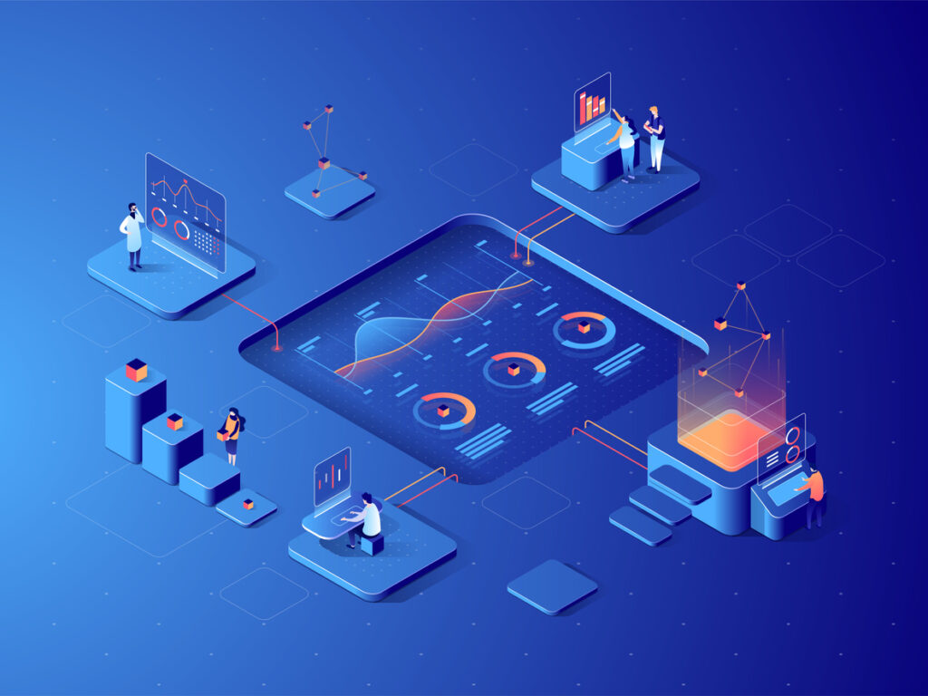
Ugeo Solutions provides a comprehensive suite of geoscientific services designed to support the full project lifecycle, from initial concept to final data interpretation. By integrating advanced marine geophysics, high-precision land surveys, and proprietary digital workflows, we transform complex environmental data into the engineering certainty required for energy and infrastructure development. Our commitment to technical rigor and safety-first protocols ensures that whether your project is offshore or on land, you are building on a foundation of verified, actionable intelligence.

Core Capabilities

Our key expertise covers the full project lifecycle, from initial concept to final data interpretation and reporting. We group our services into these high-value areas:

Marine Geophysical & Hydrographic Surveys
High-precision data acquisition for offshore and inshore environments.
High-Precision Subsea Intelligence
We deliver high-resolution data acquisition across offshore and inshore environments. From site and route characterization to pipeline integrity surveys, we provide the underwater clarity required for complex marine engineering.
2D/3D Seismic Processing & Interpretation
Advanced subsurface visualization through high-end data analytics.
Visualizing the Subsurface with Advanced Analytics
Using in-house processing capabilities that includes broadband deghosting and AVO analysis. We transform raw seismic data into detailed geological insights, allowing for more accurate resource assessment and risk management.
Geohazard Assessment & Ground Modelling
Identifying risks and ensuring foundation integrity for sub-seabed geology.
De-risking Your Foundation
We identify sub-seabed geological hazards before they impact your project. Through rigorous risk analysis and foundation integrity assessments, we build 3D ground models that ensure structural safety and long-term stability.
Feasibility / Desktop Study
Strategic project planning backed by multi-disciplinary data integration.
Strategic Planning Backed by Data
Precision starts before the first vessel leaves the port. Our comprehensive studies integrate hydrography, geology, and oceanography to provide a full-spectrum risk assessment for your project’s initial concept phase.
Geotechnical & Land Survey
The ground-truth for construction and infrastructure development.
The Ground-Truth for Infrastructure
We provide the essential topographic and geotechnical engineering support needed for land-based construction. Our surveys ensure that every bridge, highway, or industrial site is built on a foundation of verified data.
GIS Data Management
Effective management and visualization of complex spatial data.
Transforming Spatial Data into Strategy
We don't just collect data; we make it usable. Through fully-formatted, map-based systems, we provide effective visualization and management of spatial data, enabling faster and more informed decision-making.

Our Innovation Ecosystem:

The Three Wings

We innovate and create solutions for industry requirements by empowering our people with new technologies and ideas. This is driven by three core wings of our organisation

Developing proprietary software to revolutionise data workflows. Our flagship, Wadugs, seamlessly integratesquality control, processing, and interpretation into one powerful platform.
Conducting advanced, in-house 2D/3D seismicdata processing for marine and landsurveys, including Ultra-High Resolution (UHR), broadband processing, and AVOanalysis.
Cultivating the next generation of talent.Weprovide comprehensive training programmes to ensure our team andour partners are at the forefront of geophysical technology and techniques